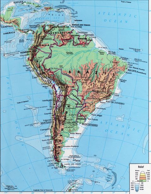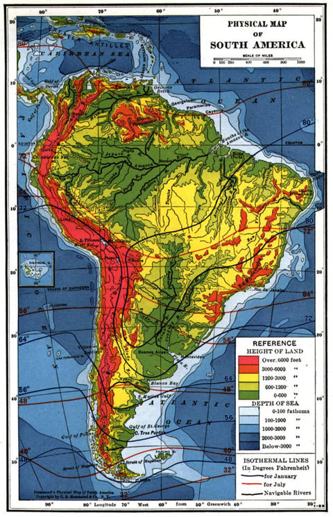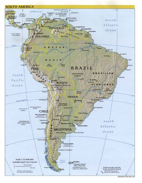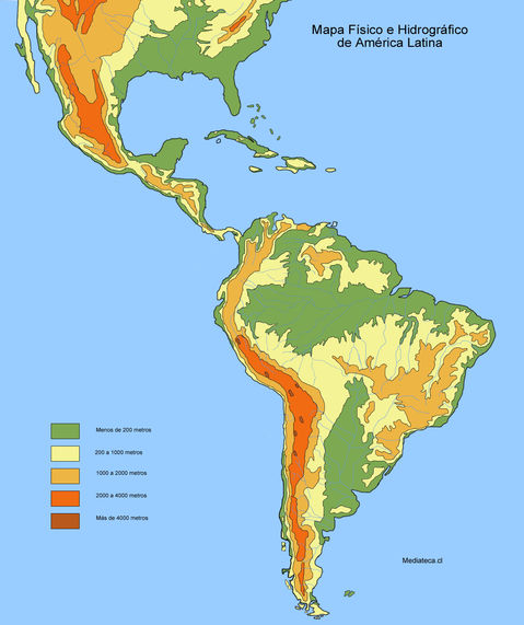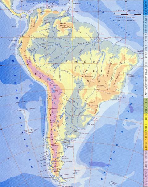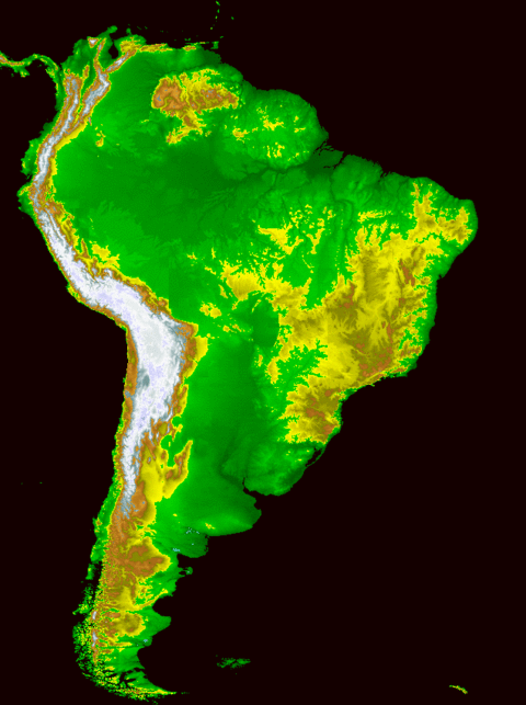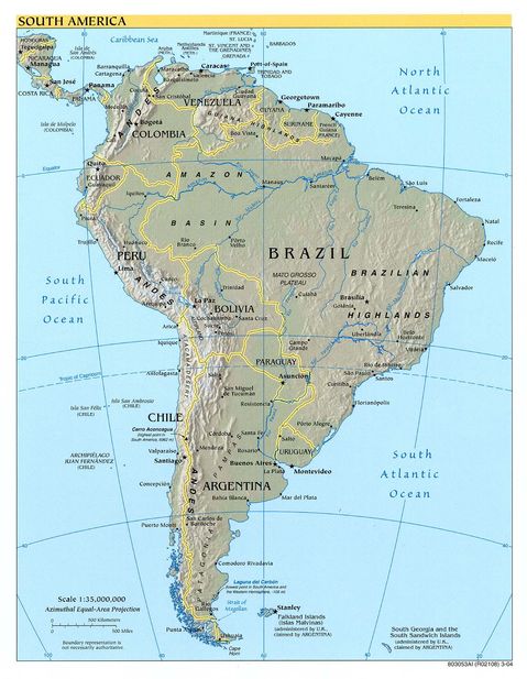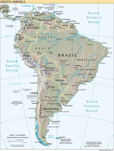
Physical map of the Americas
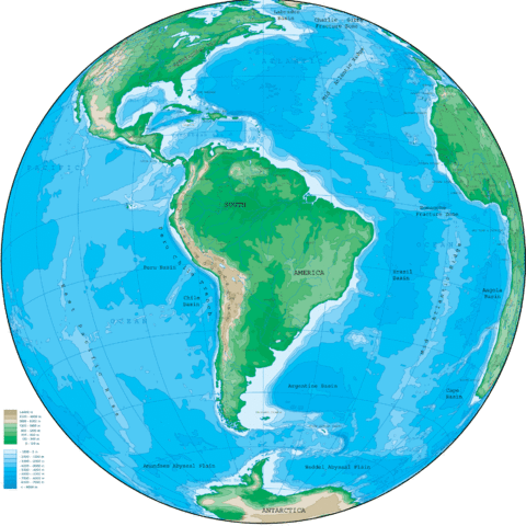
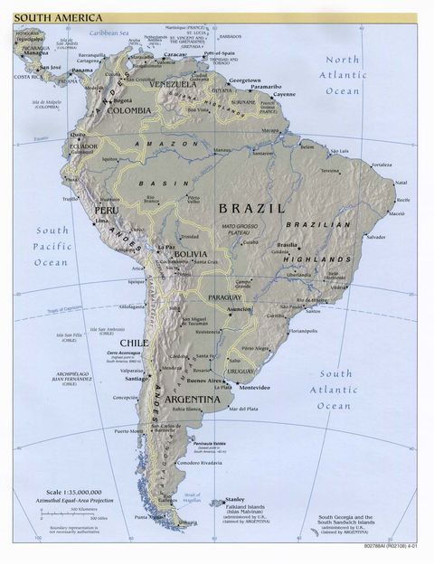
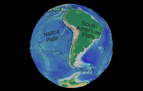
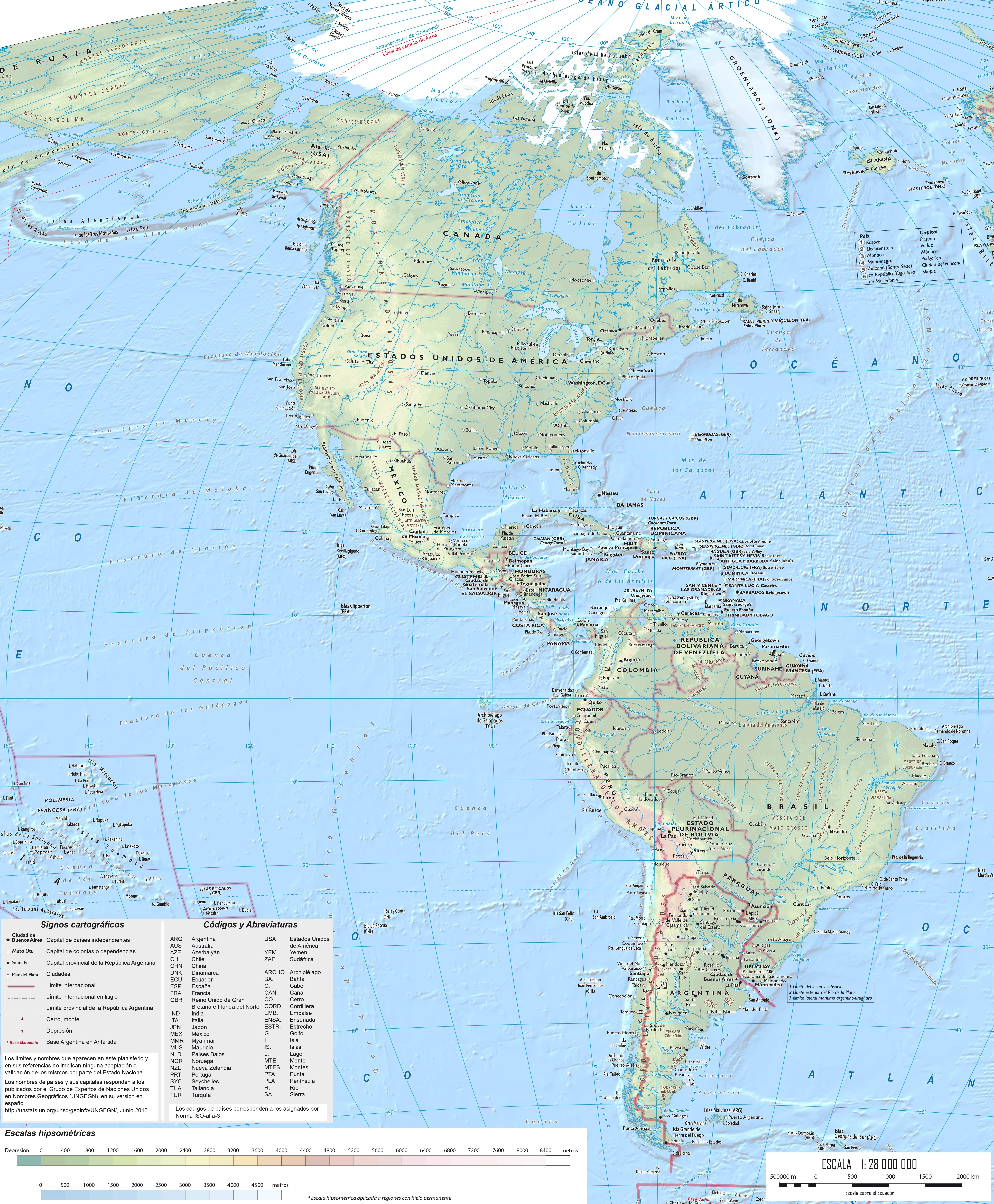
Physically the Americas occupies much of the western hemisphere of the planet. It extends from the Arctic Glacial Ocean in the north to the Southern Ocean (also known as the Antarctic Ocean) in the south, at the confluence of the Atlantic and Pacific Oceans, which in turn delimit the continent by the east and west, respectively.
The Americas is the second largest land mass on the planet, after Eurasia. It has an approximate area of 42 978 000 km². It extends from north to south from Cape Columbia (87 ° N, Canada) in the Arctic Ocean to the Diego Ramírez Islands (57 ° S, Chile), located in the Drake Passage that separates the American continent from Antarctica. Its easternmost point corresponds to Cape Branco in Brazil (34 ° W) while the westernmost corresponds to the Bering Island the westernmost of the Commander Islands in the Aleutian Islands (178 ° E), next to the Bering Strait that separates Alaska from the Asian continent.