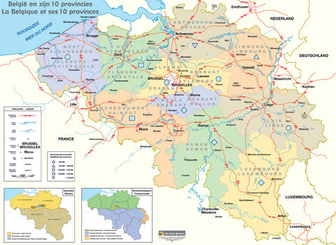
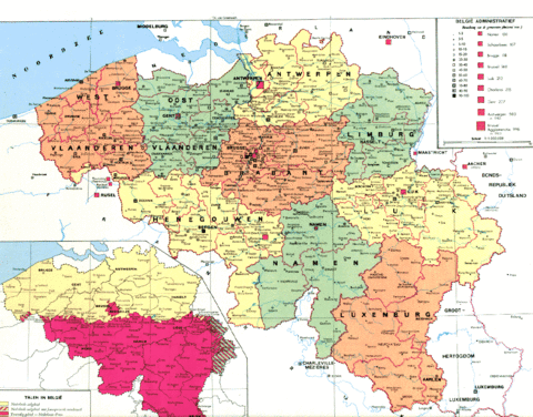
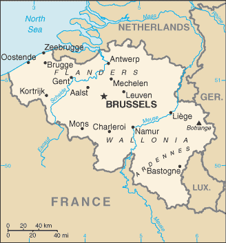
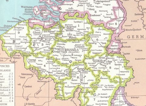
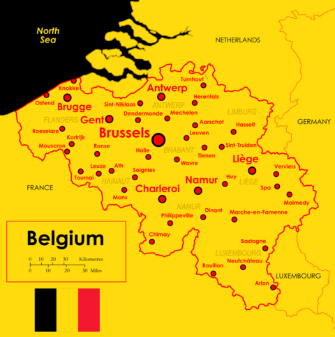
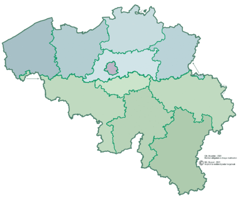
Political map of Belgium, divided into provinces.
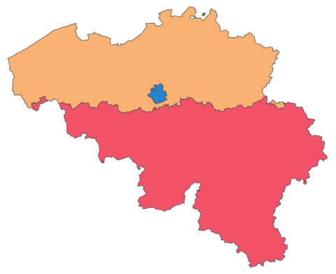
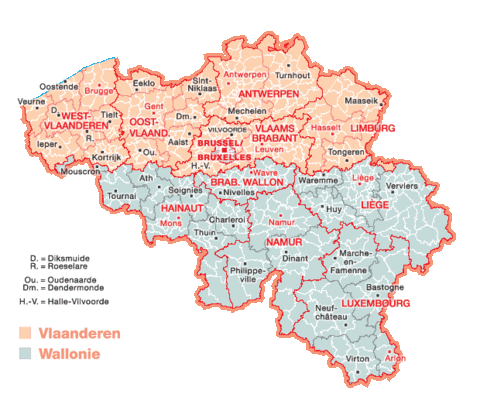
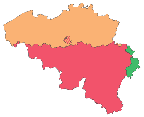
Political map of Belgium, divided into provinces. The country is divided into three regions. Two of these regions, the Flemish or Flanders Region, and the Walloon or Walloon Region, are subdivided into five provinces. The third region, the Brussels-Capital Region, is not divided into provinces, as it was originally only a small part of a province.
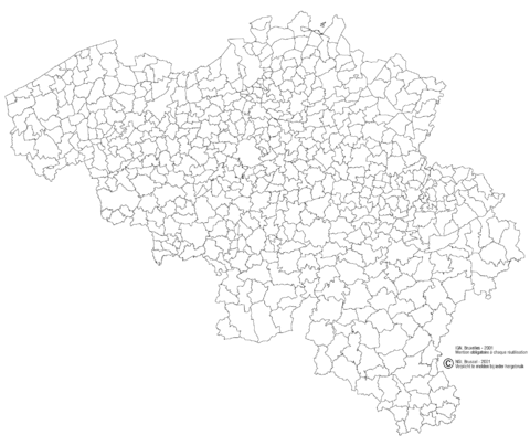
The division into provinces is fixed by article 5 of the Belgian Constitution. The provinces are subdivided into 43 administrative districts, and further into 589 municipalities.
The division into provinces is fixed by article 5 of the Belgian Constitution. The provinces are subdivided into 43 administrative districts, and further into 589 municipalities.
| Province | Capital | Area | Population | Density |
| (1 January 2019) | ||||
| Antwerp | Antwerp | 2,876 km2 | 1,857,986 | 647/km2 |
| East Flanders | Ghent | 3,007 km2 | 1,515,064 | 504/km2 |
| Flemish Brabant | Leuven | 2,118 km2 | 1,146,175 | 542/km2 |
| Limburg | Hasselt | 2,427 km2 | 874,048 | 361/km2 |
| West Flanders | Bruges | 3,197 km2 | 1,195,796 | 375/km2 |
| Hainaut | Mons | 3,813 km2 | 1344241 | 353/km2 |
| Liège | Liège | 3,857 km2 | 1,106,992 | 288/km2 |
| Luxembourg | Arlon | 4,459 km2 | 284,638 | 64/km2 |
| Namur | Namur | 3,675 km2 | 494,325 | 135/km2 |
| Walloon Brabant | Wavre | 1,097 km2 | 403,599 | 368/km2 |
| Brussels Capital Region | Brussels City | 162.4 km2 | 1,208,542 | 7,442/km2 |